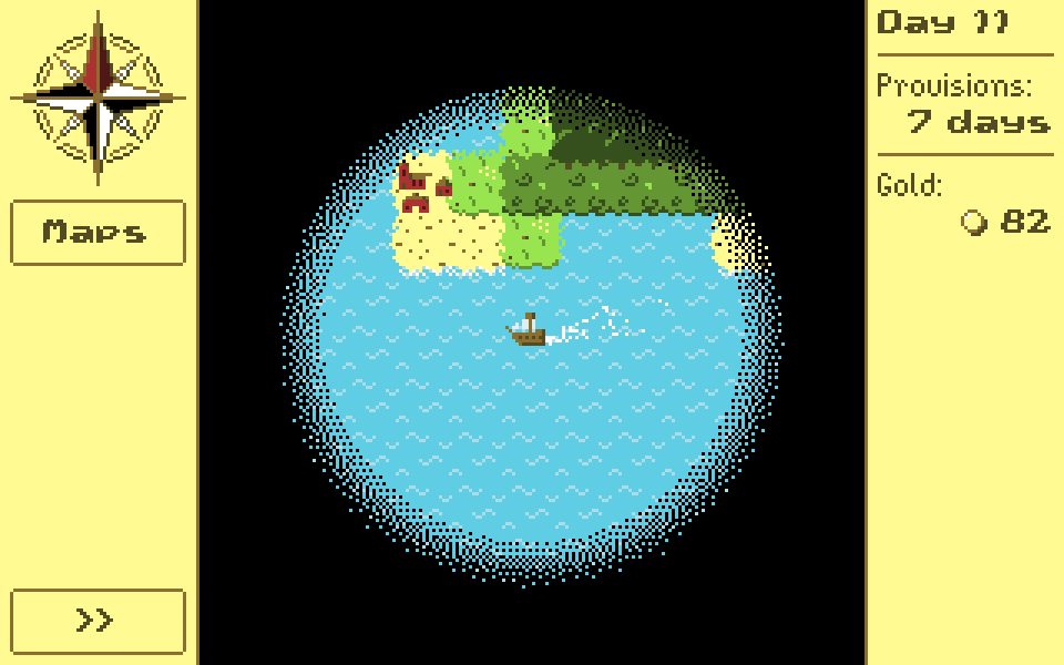
So far, I’ve been talking about generating a world at a very large scale for the game. But the aim of the game is exploration, so the player will rarely, if ever, get to see the entire planet at once. Which raises the question: what will the player see?
I didn’t have time during the holidays to implement any new features, so enjoy this filler post that I prepared earlier! In the very first post in this series, I wrote:
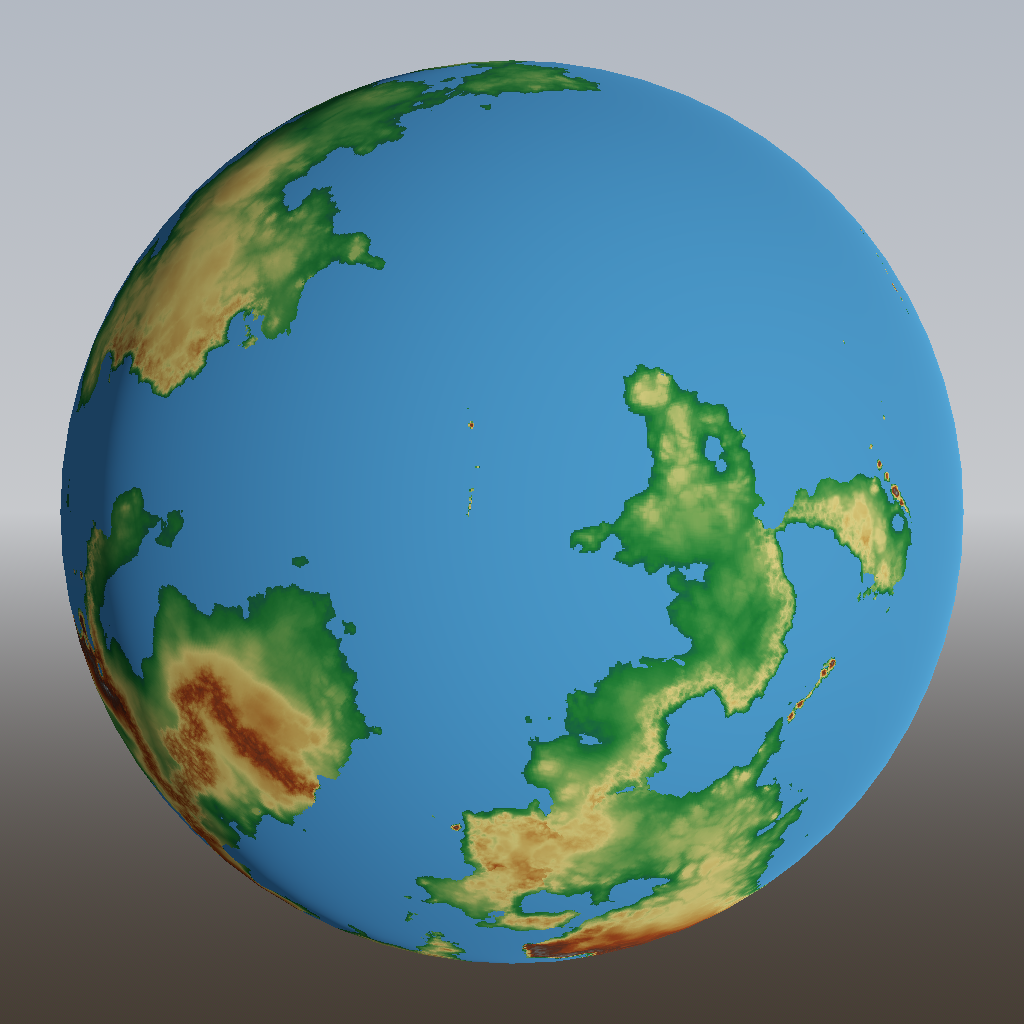
The prototype took place on a rectangular map, with the left side wrapping around to the right to form a cylinder. […] Many games do this and get away with it, but because I’m a perfectionist, I want my game to take place on an actual sphere.
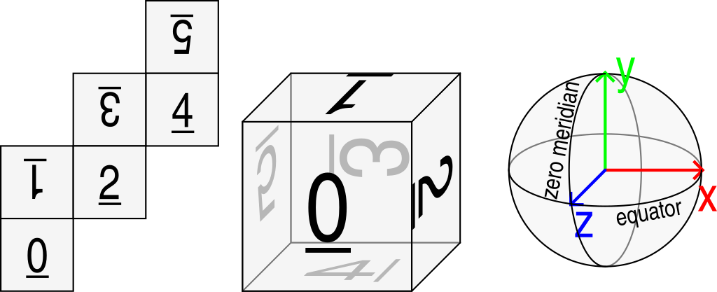
Today I’m going to write up in some detail why spheres are harder to work with.
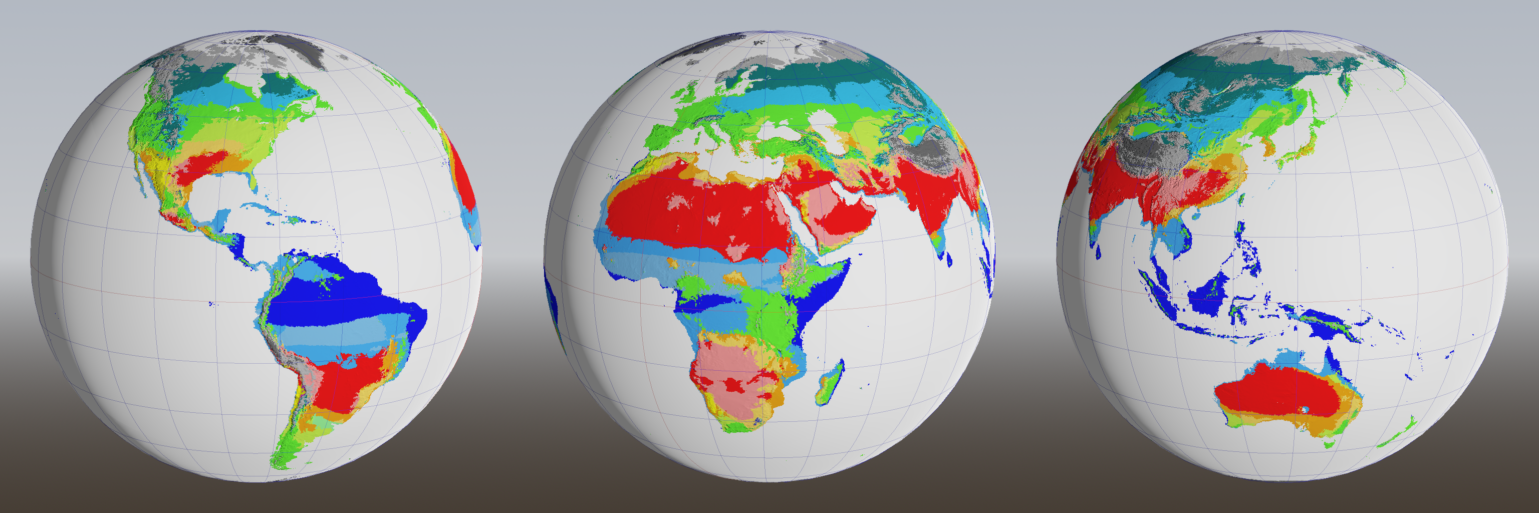
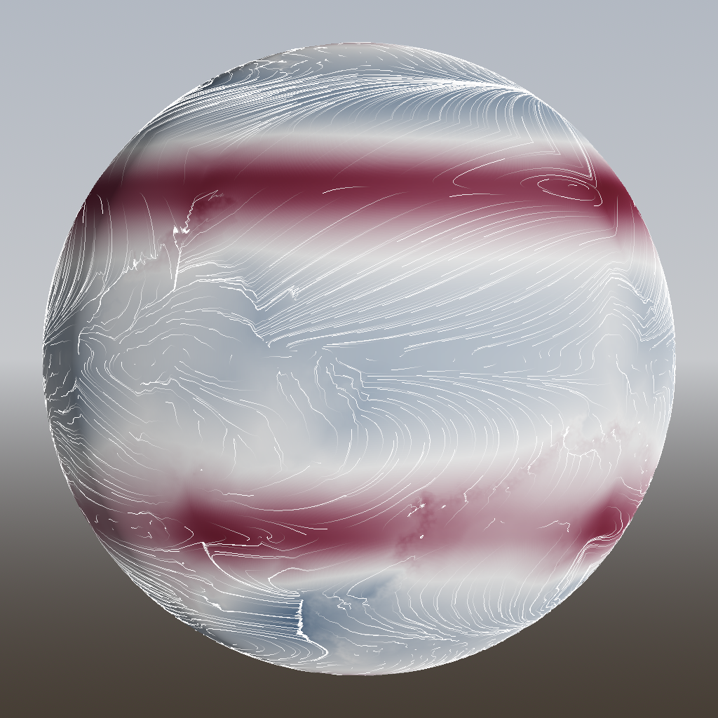
The previous post ended with a cliffhanger: how would we get rid of all the arid zones (pink) in the Köppen climate classification? An alternating game of spot-the-difference and whack-a-mole ensues.
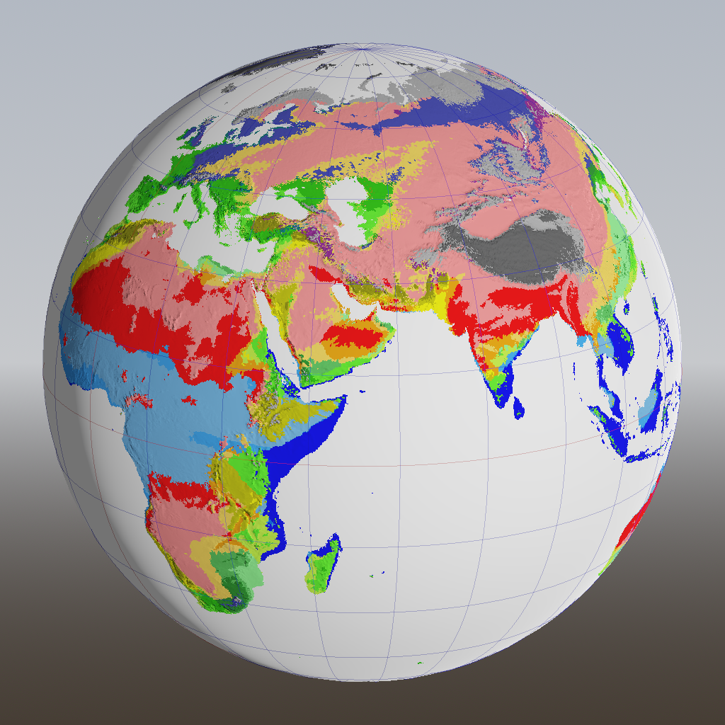
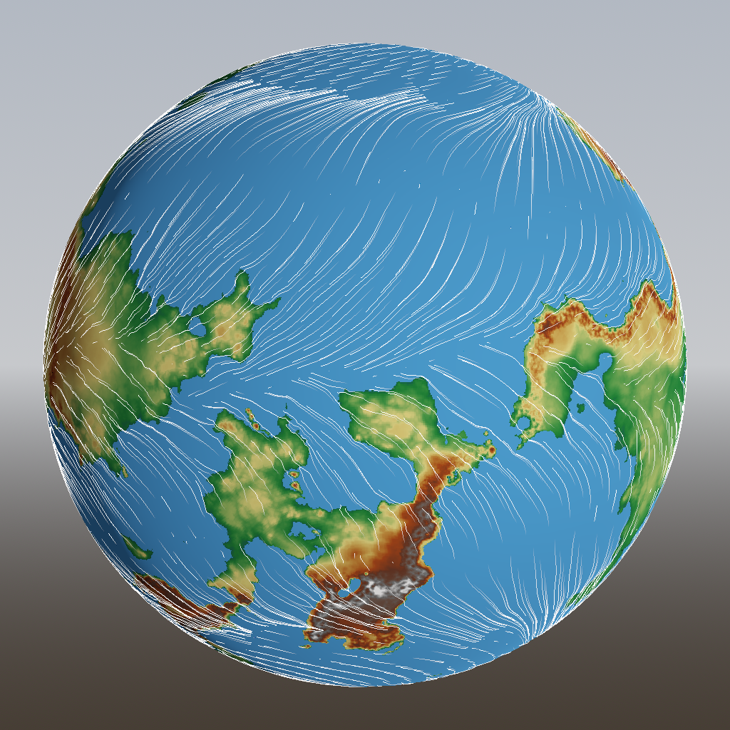
Last time, I described how I’m generating different weather patterns based on the season. That data is already useful for the game, to decide the weather at one particular place and time, but it’s also essential when figuring out the local biome, which is what we’re doing today.
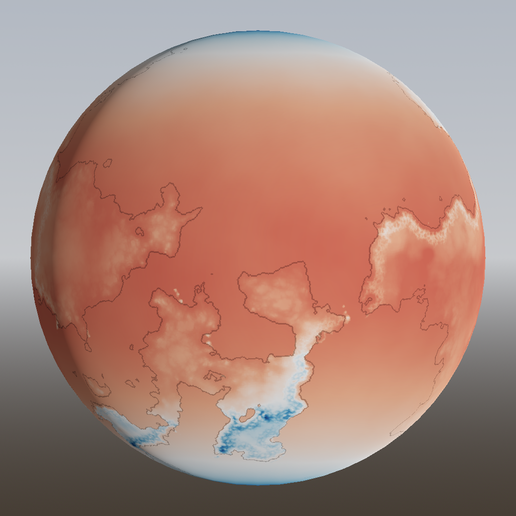
In the last post, we developed some basic but useful algorithms to generate temperature and rain maps for an entire year. However, these assumed that the weather is constant throughout the year. As any citizen of Earth knows, that is not quite true, so let’s fix it!
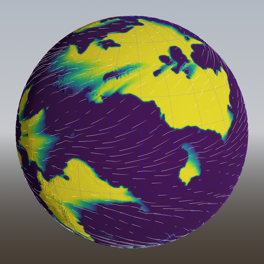
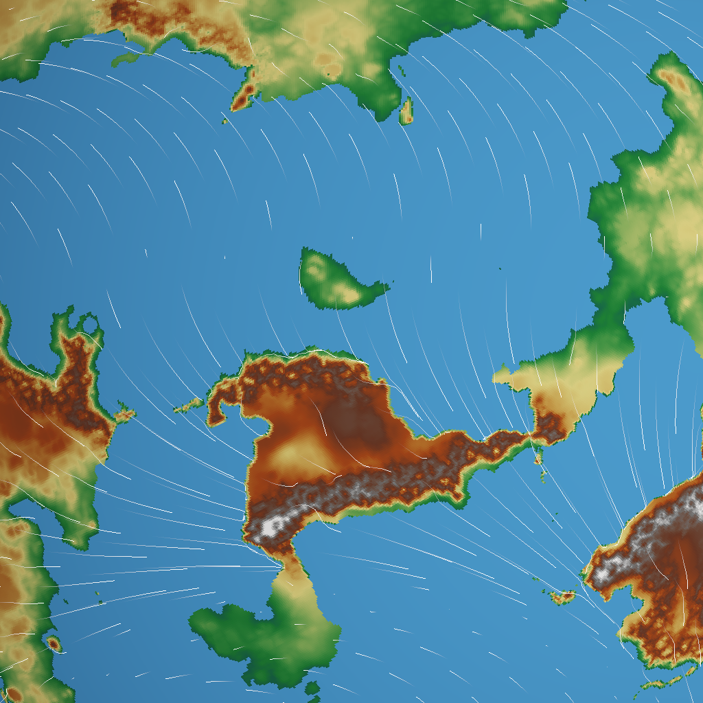
Now that we have a finalized height map of our generated world, it’s time to put something on the surface. But to know what to put there – forest, desert, grassland, ice – we have to know something about the local conditions. And to know those, we have to know about wind patterns.