Around The World, Part 29: One year in
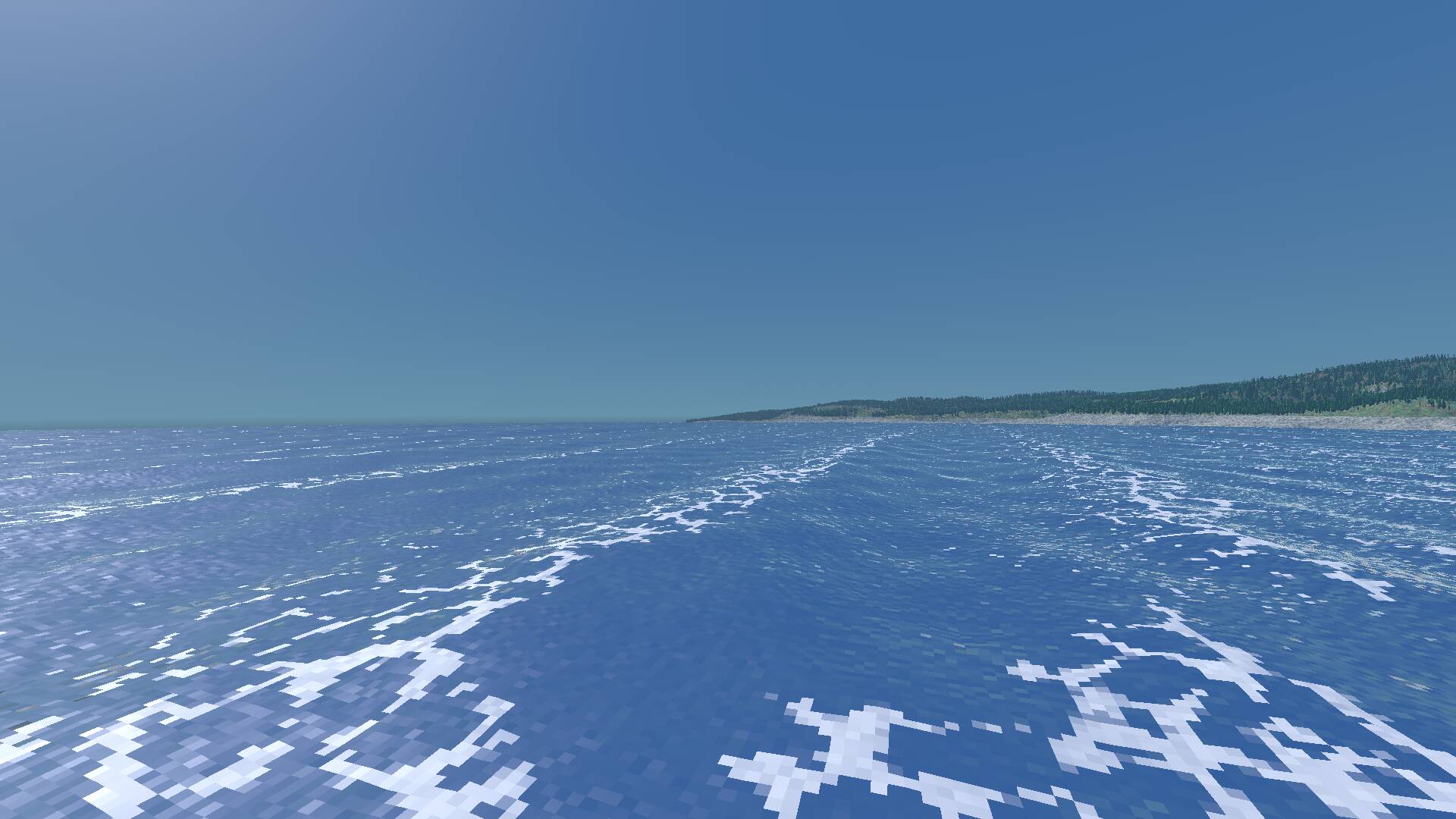
Exactly one year ago this Valentine’s Day, I started development on Around The World. Let’s look back on the past, but more importantly, look forward at what’s still ahead.

Exactly one year ago this Valentine’s Day, I started development on Around The World. Let’s look back on the past, but more importantly, look forward at what’s still ahead.

Even though the in-game world is fairly small compared to Earth, I want it to feel big. Part of that is being able to see things that are far away.
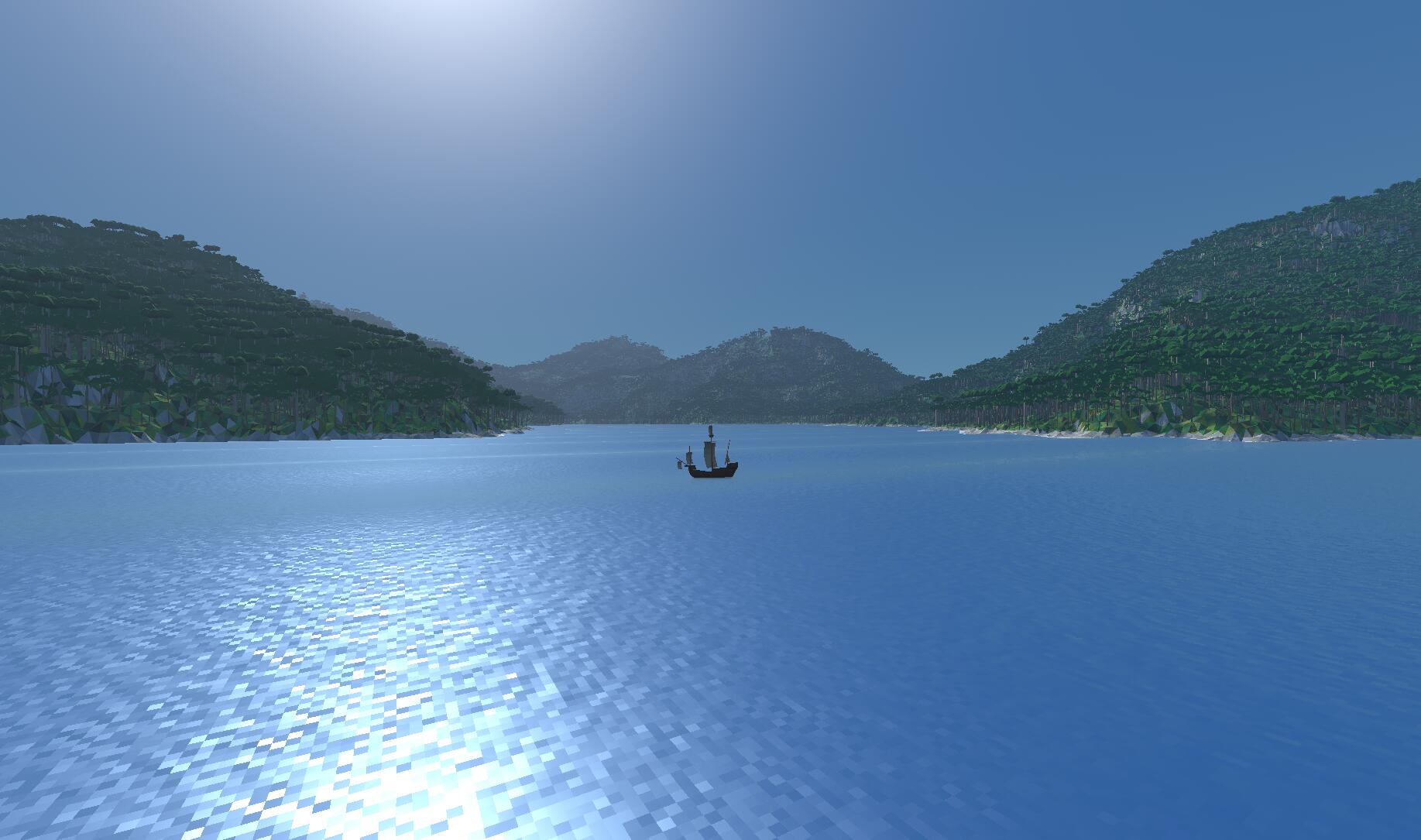
In the previous post, I determined what kind of vegetation should grow where in my procedurally generated world. Now it’s time to actually plant those plants!
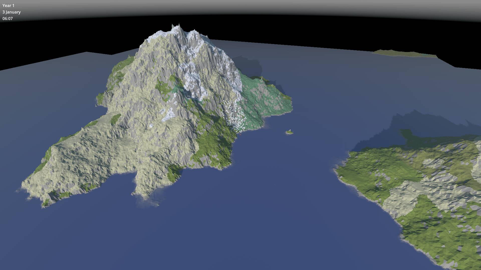
I should be working on gameplay, but I got tired of looking at drab grey terrain, so I decided to beautify it first by adding some vegetation. In a way, this is in line with my plan to add a solid technical foundation for the game before stacking too much gameplay on top, because I’m not sure that the hardware will be able to render all those trees in a huge open world.
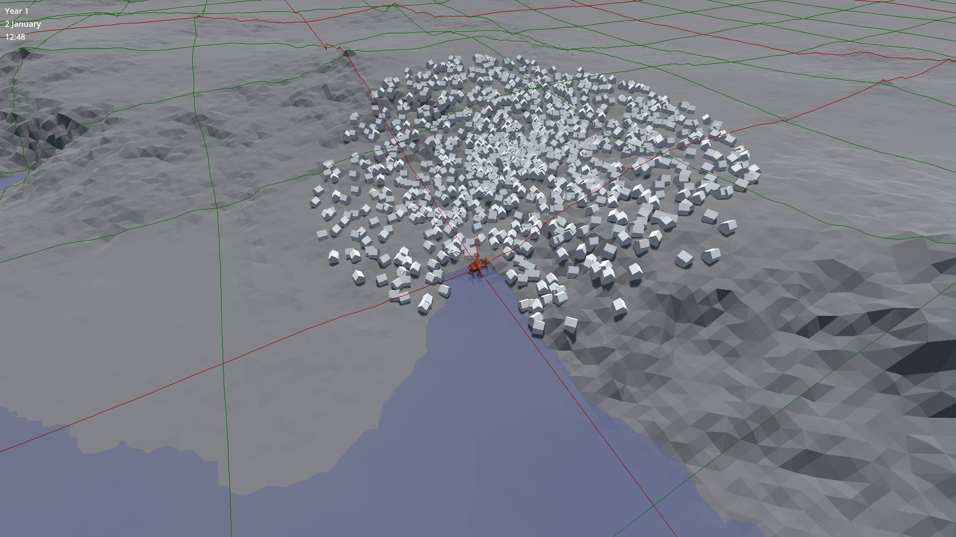
In the previous post, I promised to start placing some ports in our procedurally generated world. That turned out to be a bit more work than I expected.
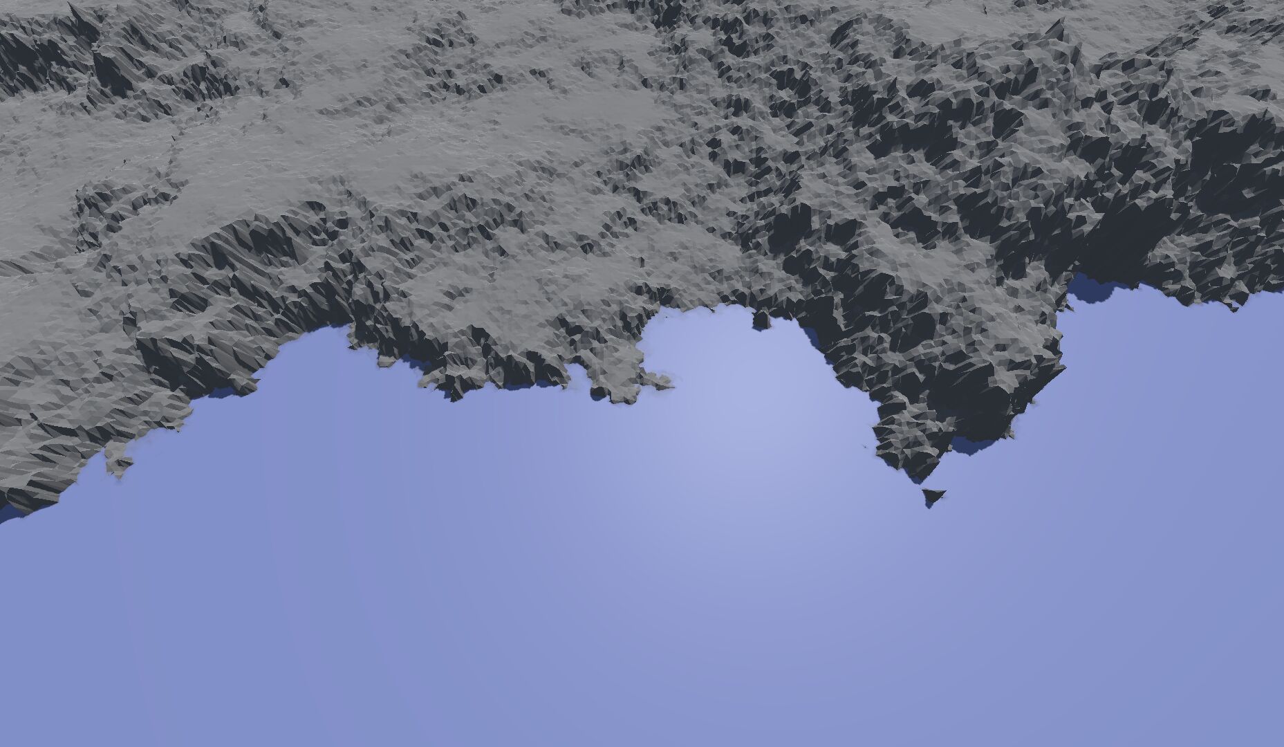
Now that we have a plausible looking height map for the entire world, it’s time to zoom in and see what the terrain looks like up close.
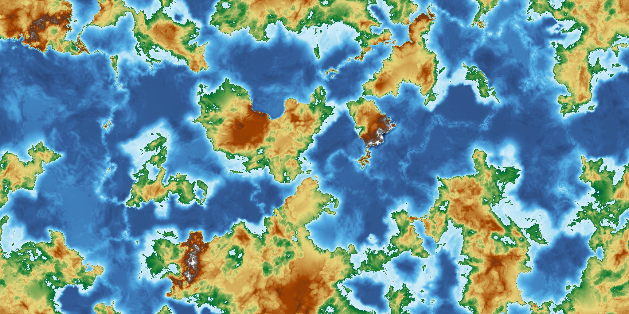
As I mentioned last time, I’m currently working on a full rewrite of the game, with a focus on building a solid technical foundation first. But because much of that is boring work, I allowed myself a fun side quest: hydraulic erosion.
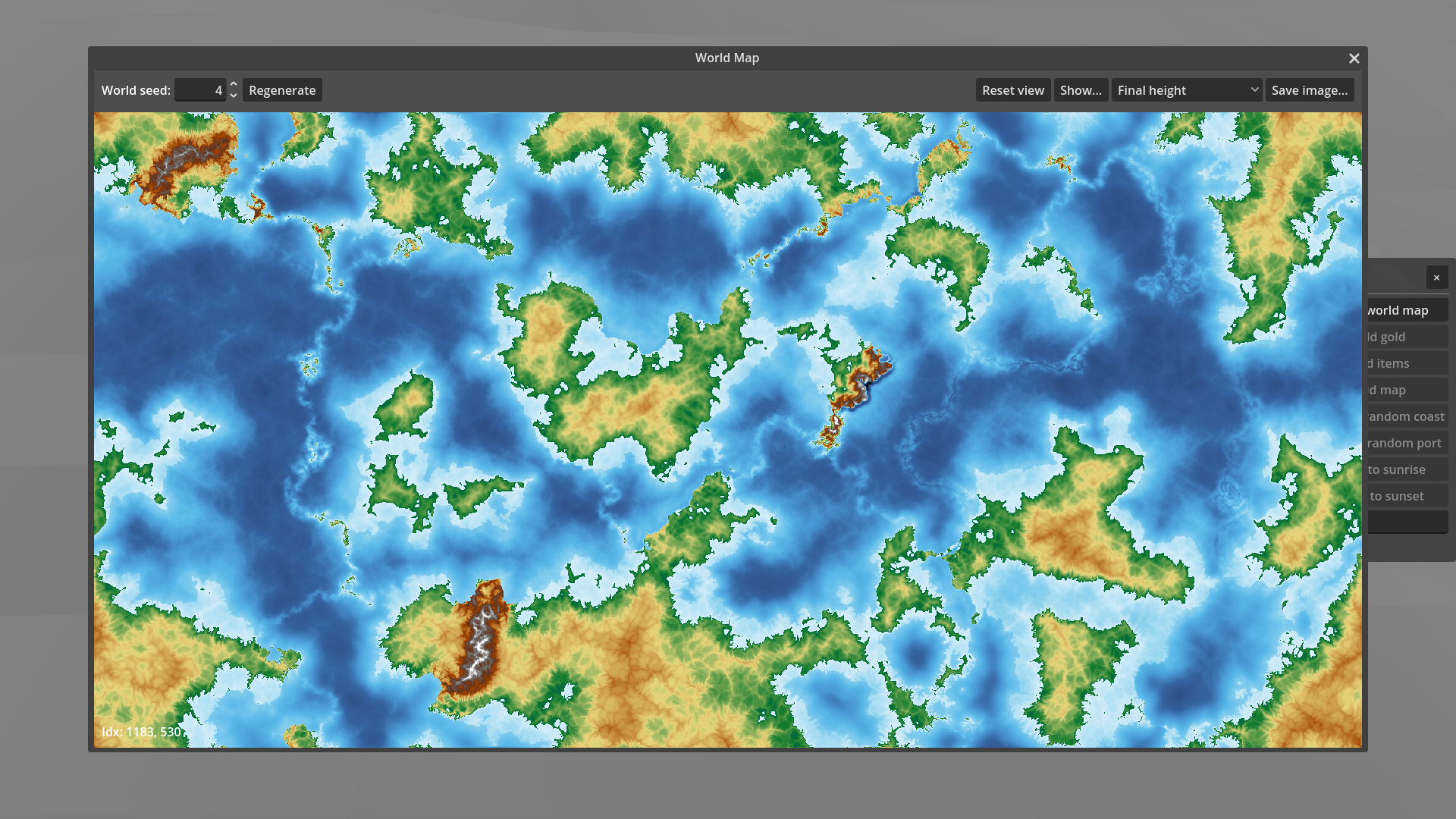
I’ve done something that common wisdom in software development says you should never ever do: I started over. Let me explain why. This might get a bit technical…
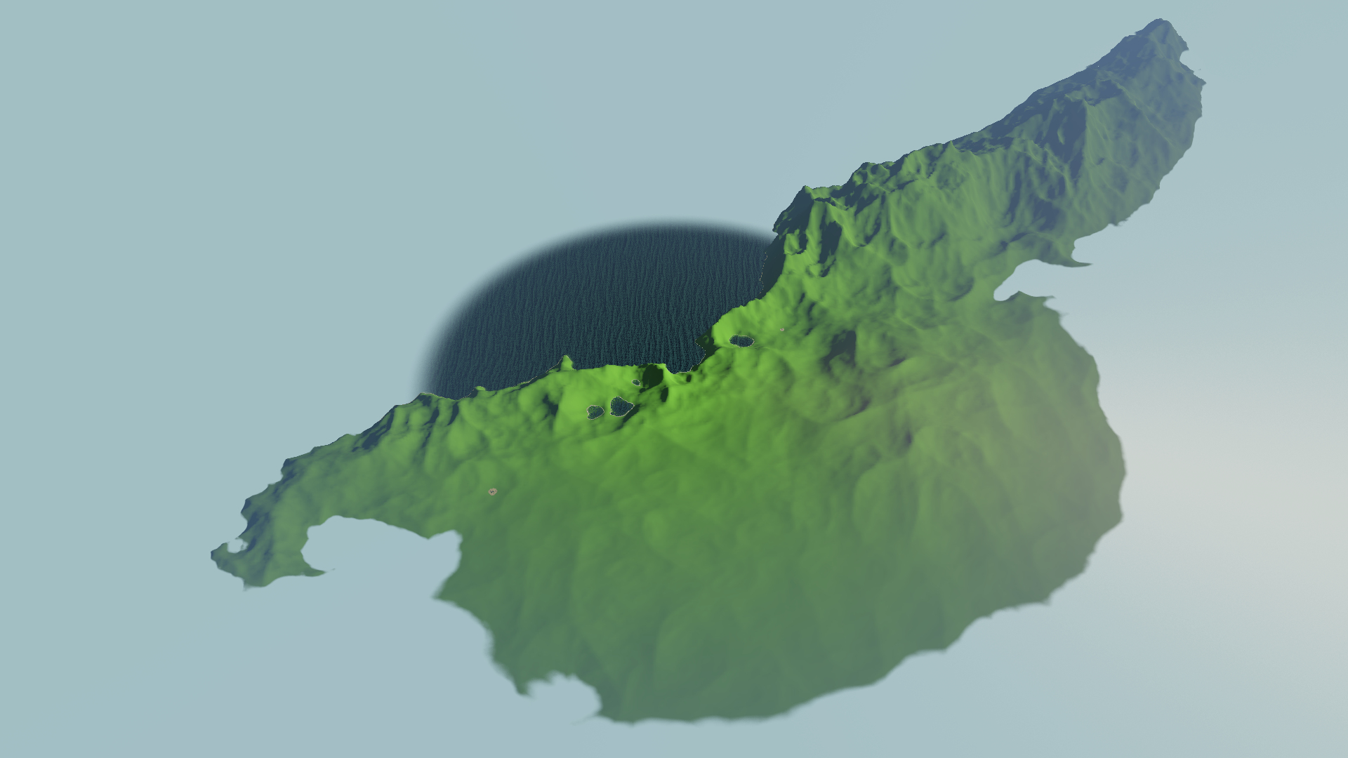
In a game focused on exploration, we need to have a way to decide what the player can and cannot see. With a first-person or third-person 3D view, visibility comes for free: anything below the horizon, and anything behind something else, is not visible. With a top-down perspective, we need to do some more work.
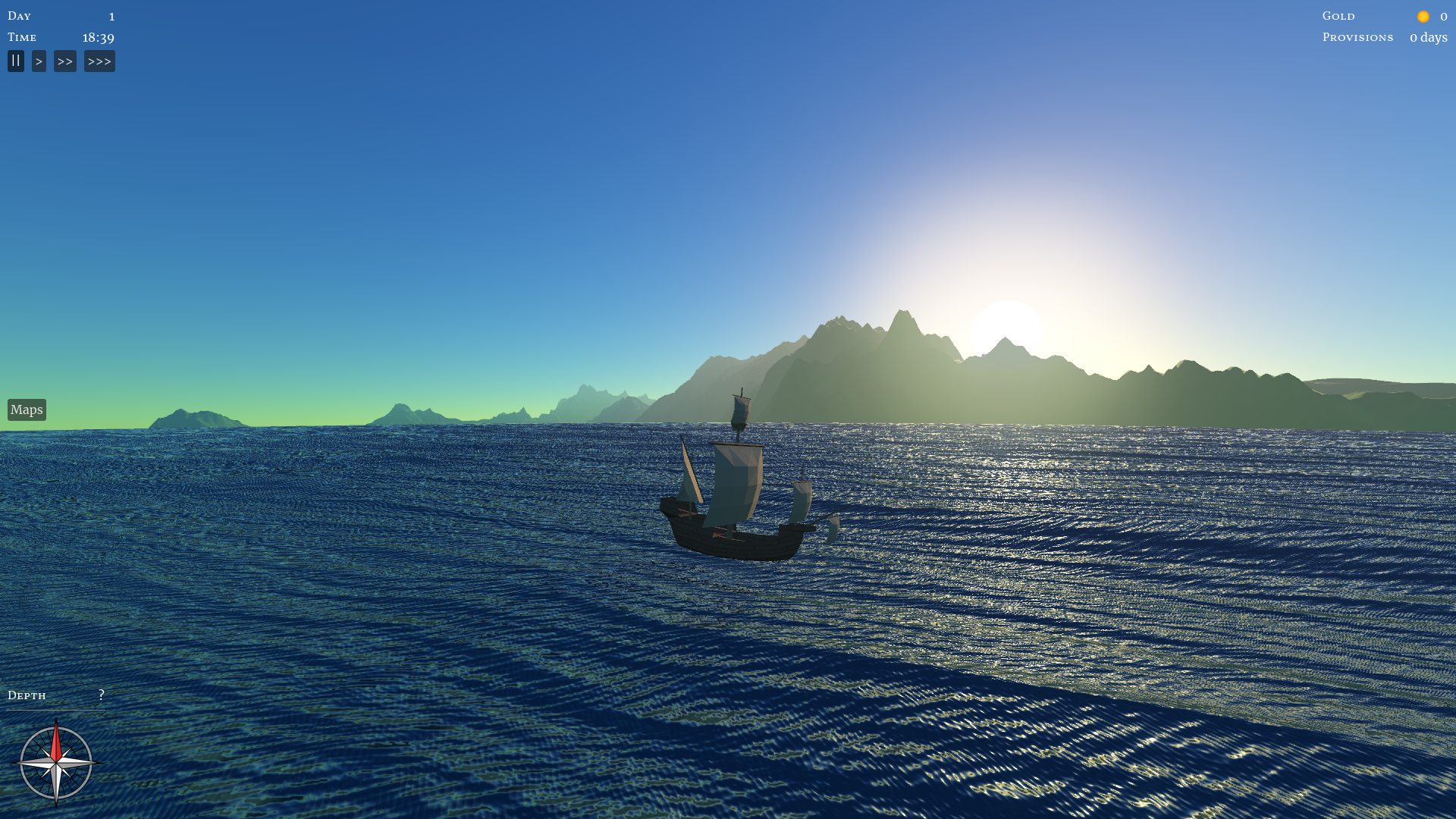
Work on the game has been slow due to lack of time, but worse, I’ve let it drift off in the wrong direction. I need to be more careful about scope creep. But first, let’s talk about the progress that I am happy about.
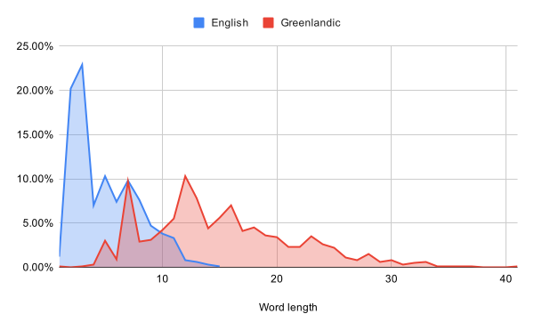
I’m having a bit of an “off” day today, so let’s do something fun, even if it’s rather low priority for the game: generating foreign languages.
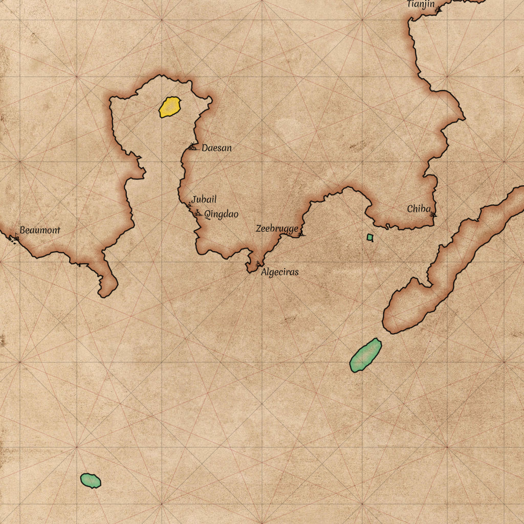
Maps will be an important part of the game. Let’s take a look at how we can draw those!

The code repository in which I’m developing Around The World is called aroundtheworld4. That might make you wonder: what happened to the first three? Today, let’s take a look at aroundtheworld2.
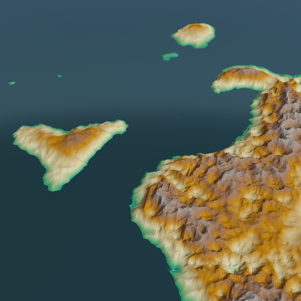
All else being equal, I prefer games (and books, and movies) to be realistic, rather than making things up on the spot. But of course, all else is rarely equal. Today, I’ll be taking away some of the realism of my procedural world generator to accommodate gameplay.
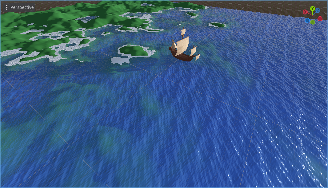
I’ve been investing a lot of effort in the generation of plausible land. But the game is all about sailing, so most of the screen will be filled with water, not land. It’s time to take that smooth blue plane that served as the sea, and make it look better!

In the previous post, we got to see our generated world at close range. This revealed some precision problems that I knew I’d need to deal with eventually, but had been putting off for a rainy day. Now I could ignore them no longer.
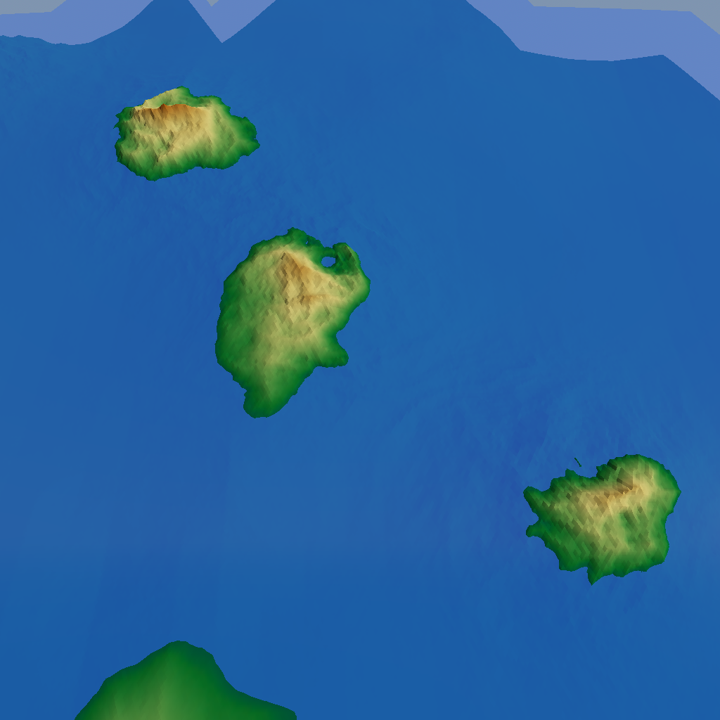
As mentioned in the previous post, the player will never see our procedurally generated world all at a glance. They’ll be much closer to it, and seeing only a small part at any given time. Let’s see how we can go from coarse, global world maps to something that will actually look good at close range!
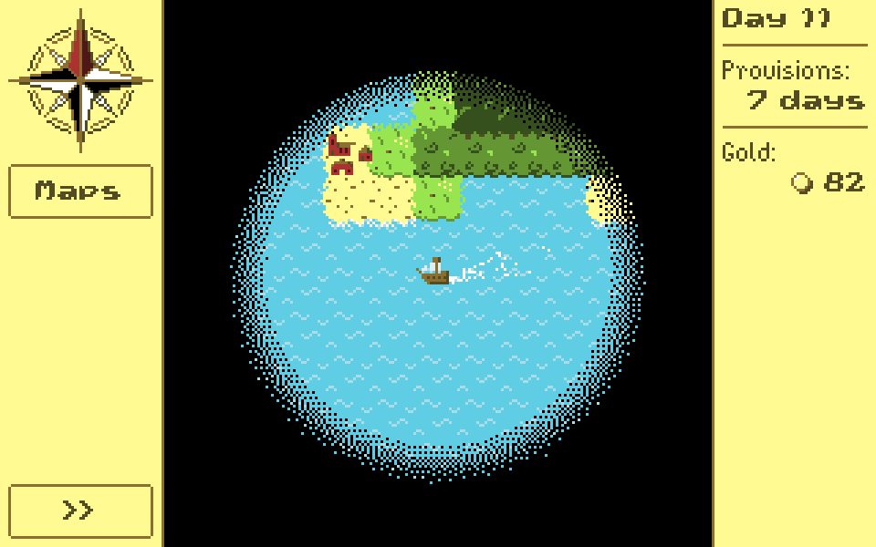
So far, I’ve been talking about generating a world at a very large scale for the game. But the aim of the game is exploration, so the player will rarely, if ever, get to see the entire planet at once. Which raises the question: what will the player see?
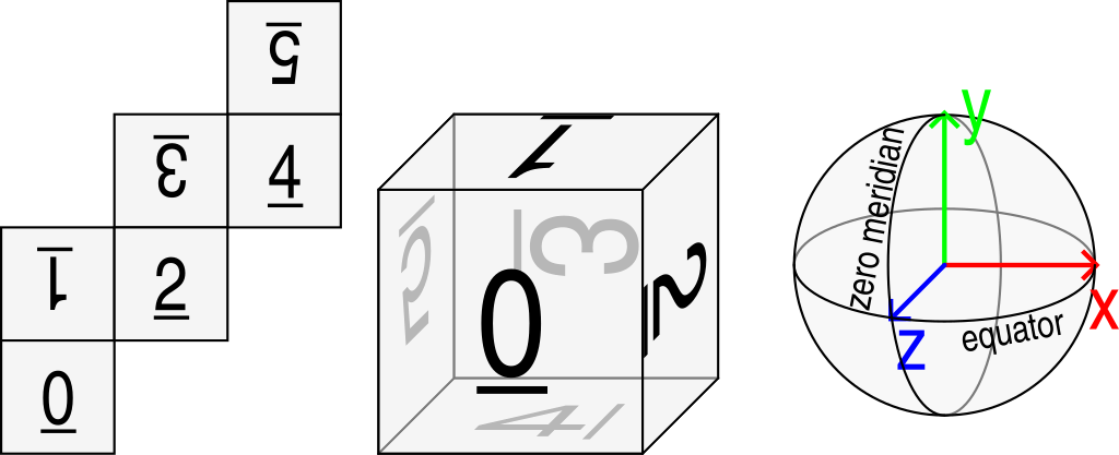
I didn’t have time during the holidays to implement any new features, so enjoy this filler post that I prepared earlier! In the very first post in this series, I wrote:
The prototype took place on a rectangular map, with the left side wrapping around to the right to form a cylinder. […] Many games do this and get away with it, but because I’m a perfectionist, I want my game to take place on an actual sphere.
Today I’m going to write up in some detail why spheres are harder to work with.
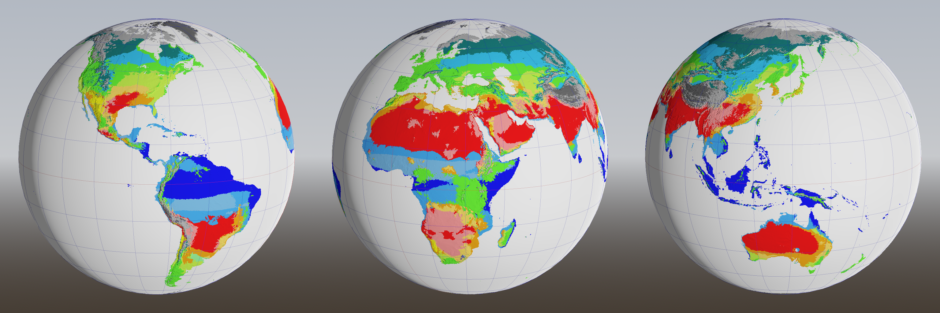
The previous post ended with a cliffhanger: how would we get rid of all the arid zones (pink) in the Köppen climate classification? An alternating game of spot-the-difference and whack-a-mole ensues.
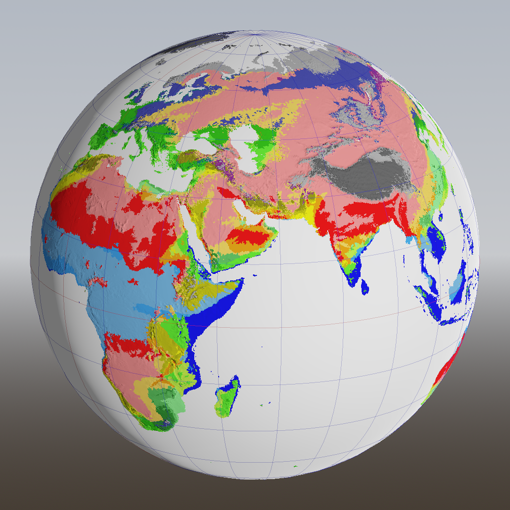
Last time, I described how I’m generating different weather patterns based on the season. That data is already useful for the game, to decide the weather at one particular place and time, but it’s also essential when figuring out the local biome, which is what we’re doing today.
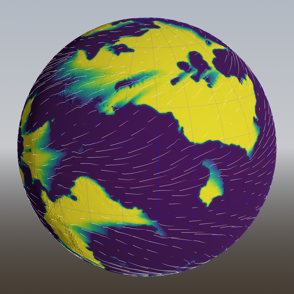
In the last post, we developed some basic but useful algorithms to generate temperature and rain maps for an entire year. However, these assumed that the weather is constant throughout the year. As any citizen of Earth knows, that is not quite true, so let’s fix it!
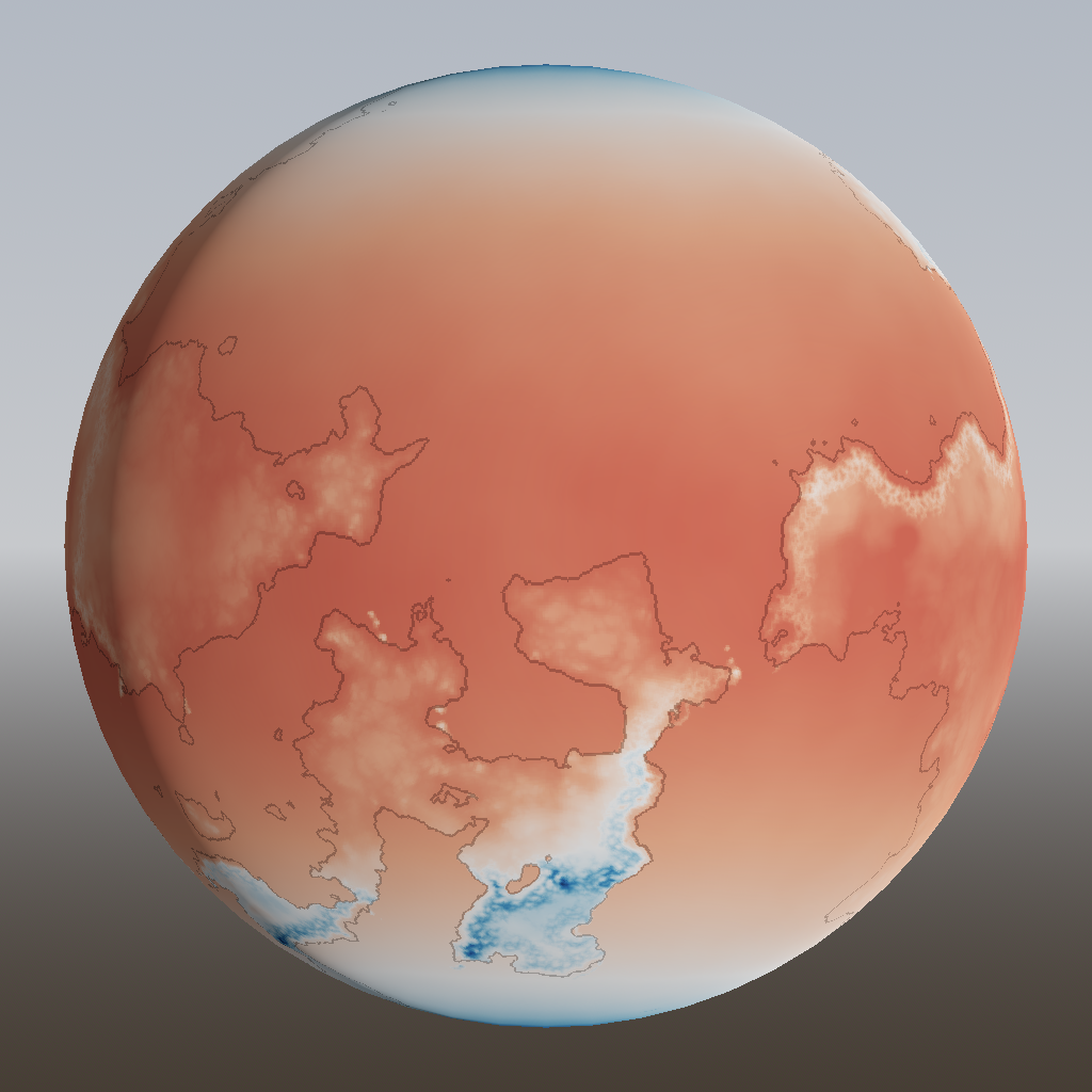
We now have prevailing wind patterns going, so it’s time to turn to the other two important parameters that define the weather: rain and temperature.
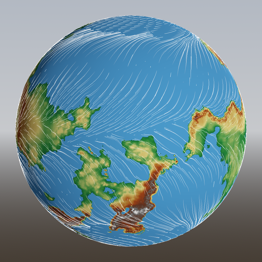
In the previous post, I described a failed attempt to solve this problem of converging winds:
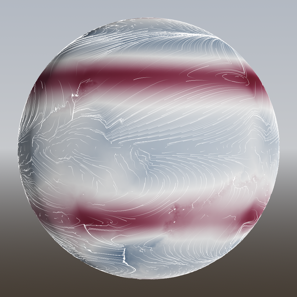
Last time, we got some basic wind patterns going. However, there’s still a problem.
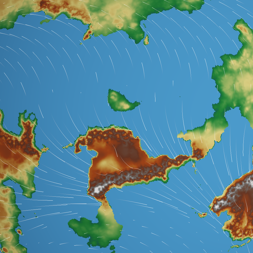
Now that we have a finalized height map of our generated world, it’s time to put something on the surface. But to know what to put there – forest, desert, grassland, ice – we have to know something about the local conditions. And to know those, we have to know about wind patterns.
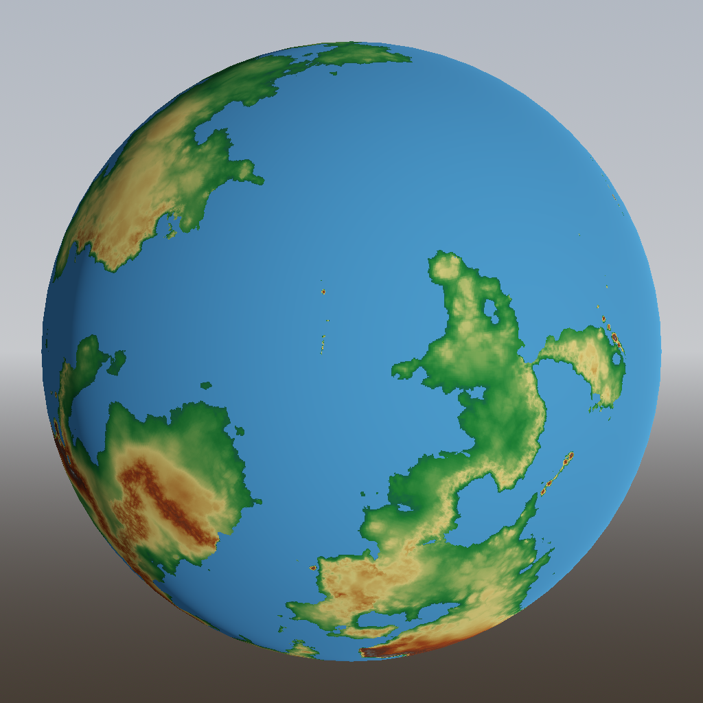
In the last post, we added the effects caused by tectonic plates:
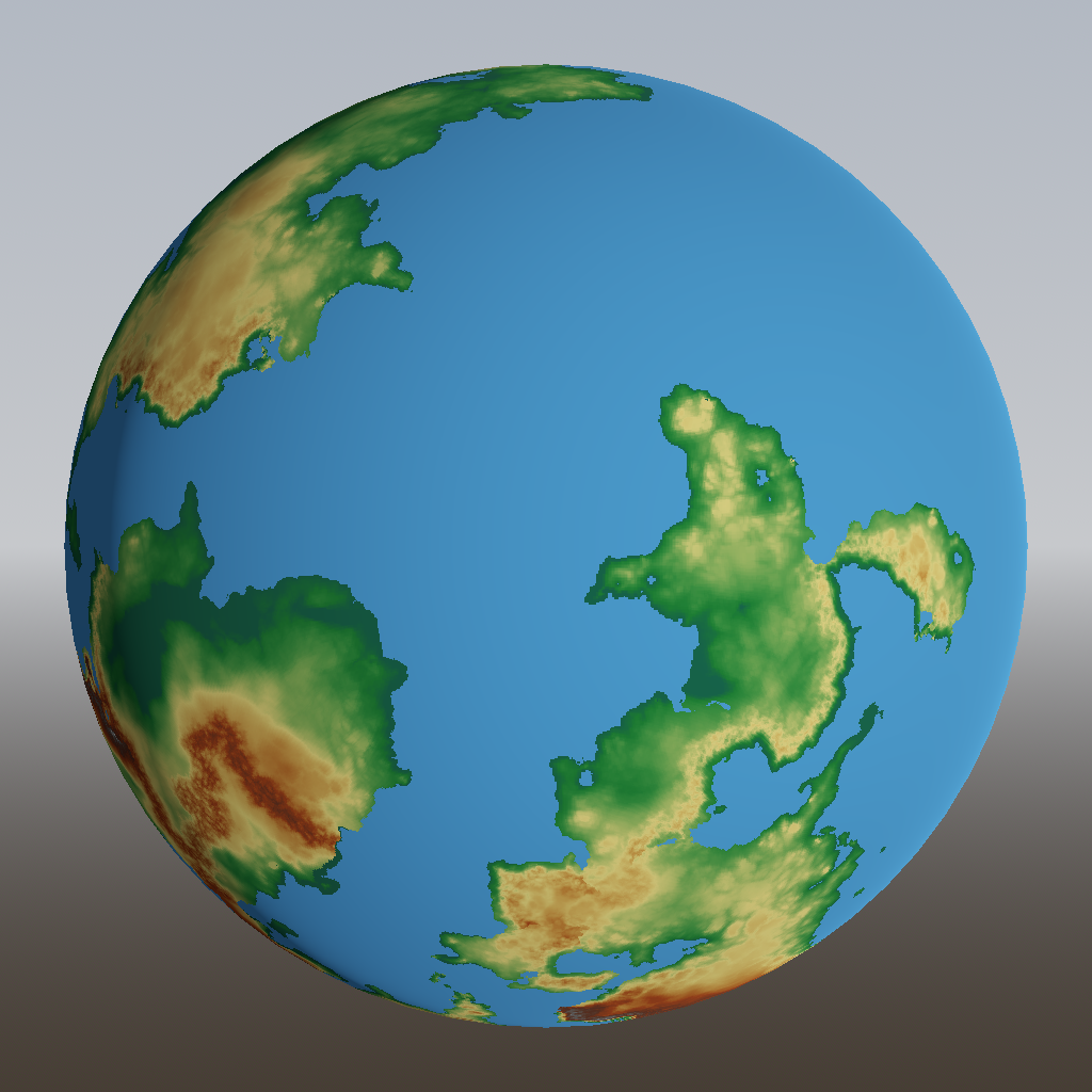
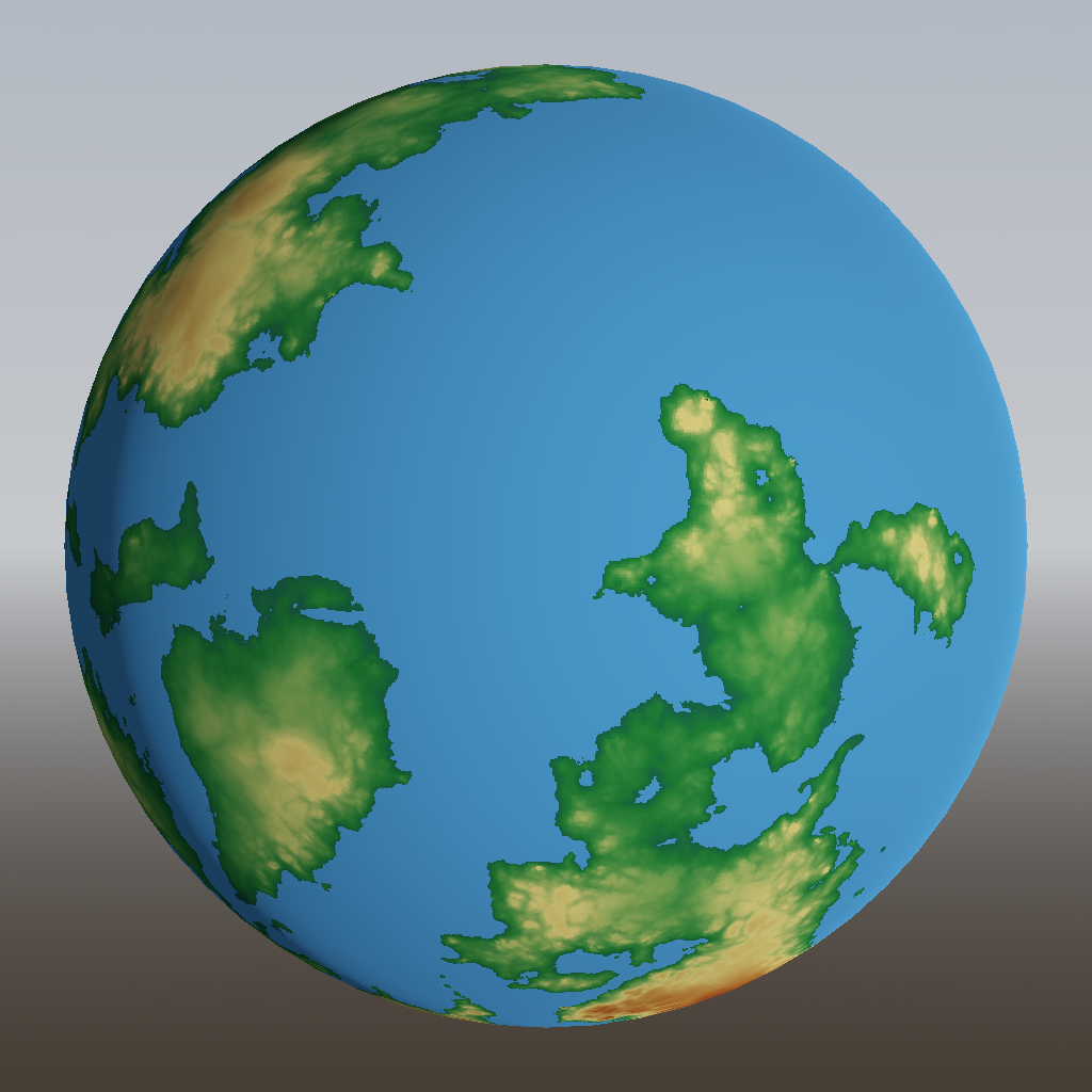
In the previous post, we tackled generation of continent shapes using Voronoi cells and set some base heights using curves and simplex noise:
There’s this game concept that has been on my mind for years, and I can’t seem to let it go. You step into the wet, salt-crusted shoes of the naval explorers of old: Columbus, Da Gama, Magellan, Cook. Most of the world is still a big unknown question mark: here be dragons. There are no satellites, no GPS, not even maps. The only way to find out what’s out there is to actually go there – which is a risky venture. Your navigational tools: a compass, the sun, moon and stars, and any information you might learn from the locals along the way. Your goal: to find a route around the world and end up where you started.